
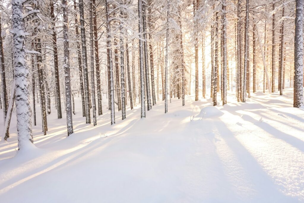
Between 1991 and 2025, snow on Christmas Day was almost certain above 1,000 to 1,500 m in the Alps: 100% of years at Chamonix (1,035 m), against 6% in Paris. Lowland white Christmases stay rare, and no reliable forecast exists yet for Christmas 2026.
Checked on against the official sources cited and an in-house ERA5 calculation (Open-Meteo).
A « white Christmas » is a dream, but it plays out on a map, not on a date. Between 1991 and 2025, snow on the ground on 25 December was not the same in Chamonix, Paris or Rovaniemi. This article combines ERA5 reanalysis data over 35 years for 50 points across Europe, the definitions published by national weather services and the limits of these figures, to find out where Christmas snow is really likely.
1. What is a white Christmas? It depends on the country
There is no European definition. Each national service sets its own threshold, and they do not match: in the United Kingdom a single snowflake is enough, whereas Sweden, Germany and Switzerland require at least one centimetre of snow on the ground. The table below sets out the definitions published by these services, checked on 10 November 2026. Some were read only in summary or through press coverage, as the source note indicates.
| Country | Body | Definition used |
|---|---|---|
| United Kingdom | Met Office | At least one snowflake at some point during the 24 hours of 25 December |
| Sweden | SMHI | At least 1 cm of snow on the ground measured at 7 a.m. on Christmas morning |
| Denmark | DMI | At least 0.5 cm over at least 90% of the country, in the afternoon of 24 December |
| Germany | DWD | At least 1 cm on each of 24, 25 and 26 December |
| Switzerland | SRF Meteo (Bern, Bundesplatz) | At least 1 cm on one of the three days (24, 25 or 26); Bern about one year in four |
| France | Météo-France | No numeric threshold published |
Sources: Met Office, SMHI, DMI, via Vejr & Radar, DWD, SRF Meteo and Météo-France, checked on 10 November 2026.
To compare places with each other, this article uses a simpler measure: at least 1 cm of snow on the ground at noon on 25 December. It is not an official definition but a calculation threshold, applied the same way to every point. Météo-France, which publishes no numeric threshold, notes that snow on the ground at Christmas has been observed on average only about ten times since 1950, from the North-East to the Massif Central.
2. The Far North: Christmas snow is almost guaranteed
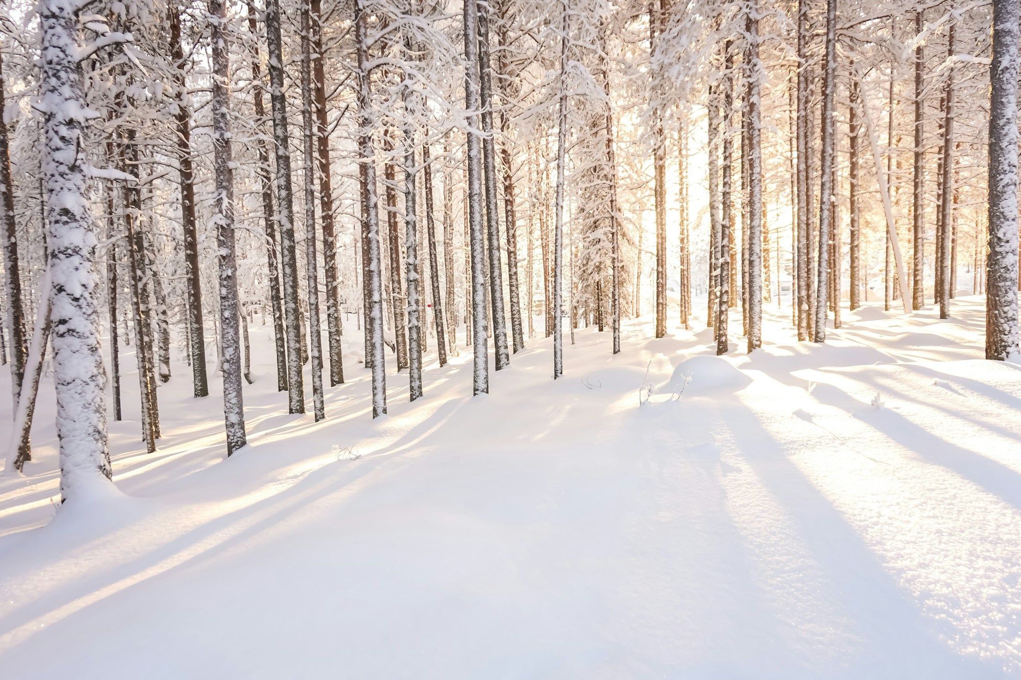
Far North: Rovaniemi, Kiruna and Tromsø
Over 1991-2025, the ERA5 grid gives at least 1 cm of snow on the ground at noon on 25 December in all 35 years for Rovaniemi (107 m at the resort) and Kiruna (452 m), and in all 35 years for Tromsø (100 m). Noon medians are 36 cm at Rovaniemi, 56 cm at Kiruna and 75 cm at Tromsø. This is the most consistent result in the article: in none of the 35 years does any of these three towns fall below the threshold.
Highlights
- Snow on the ground at Christmas in all 35 years calculated for Rovaniemi, Kiruna and Tromsø
- Rovaniemi: at least 5 cm at noon on 25 December in all 35 years
- Noon median of 36 cm at Rovaniemi and 56 cm at Kiruna
If you’d rather spend Christmas on snow than in front of a screen, a guided ski day is available in Rovaniemi. It lasts 180 minutes, takes up to 4 travellers, and skis and poles are provided; winter clothing is not included. The price and dates below were checked on 10 November 2026.
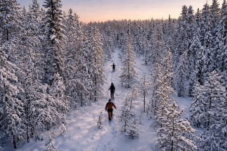
Of the 12 dates between 20 and 31 December 2026, 9 were open for booking on 10 November 2026: 20, 21, 22, 23, 25, 26, 27, 29 and 31 December. The 24th, 28th and 30th were closed. Availability can change before Christmas, so check again when you book.
The Far North remains the most consistent point in the calculation, but the series does not give the same depth every year. In 2025, ERA5 still gives 35 cm at Rovaniemi, 34 cm at Kiruna and 39 cm at Tromsø at noon on 25 December. Snow was there, but thinner than Kiruna’s median (56 cm).
3. The Alps from 1,000 to 1,500 m: the safest rule of thumb
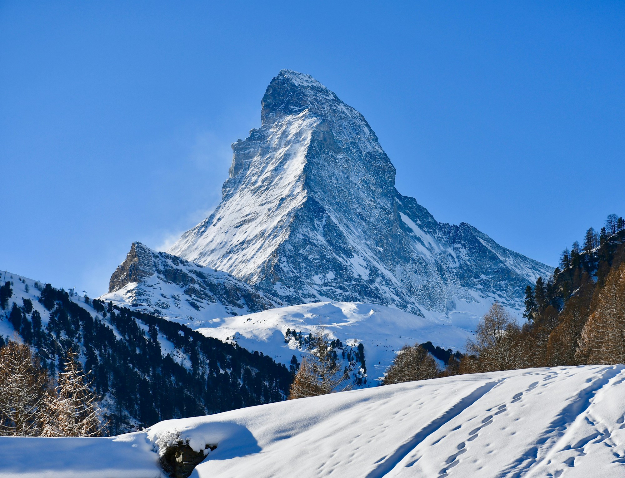
Chamonix, Val-d’Isère, Zermatt: 100% of years
In the Mont Blanc massif, Chamonix (1,035 m at the resort) had at least 1 cm of snow on the ground at noon on 25 December in all 35 years calculated, with a median of 114 cm. Zermatt (1,620 m) also reaches 100%, as do Val-d’Isère (1,850 m), Davos (1,560 m), Sölden (1,377 m) and Zugspitze (2,962 m). Noon medians for Val-d’Isère, Davos, Sölden and Zugspitze are 122, 90, 96 and 60 cm.
Highlights
- Chamonix, Val-d’Isère, Zermatt, Davos, Sölden and Zugspitze: 100% of years over 1991-2025
- Font-Romeu (Pyrenees): 97% of years, but a median of only 8 cm
- Between 1,000 and 2,000 m, eight of the nine points calculated are at 89% or more
Between 1,000 and 2,000 m, nine points are calculated. Eight are at 89% or more, Andorra included. The only one that drops clearly is the Feldberg in the Black Forest, at 77%: the resort sits at 1,493 m. Above 2,000 m, the Sierra Nevada near Granada falls to 23%, while the Zugspitze (2,962 m) reaches 100%. The Sierra Nevada grid sits at 2,293 m for a resort at 2,500 m, so the calculation does not reproduce the real altitude of the ski area.
In the Pyrenees, Font-Romeu reaches 97% over 35 years, but the grid sits at 1,607 m for a resort at 1,800 m, and the median is only 8 cm. Andorra-la-Vieille, at 1,023 m, shows 89% with a 4 cm median. For Font-Romeu and the Sierra Nevada, the grid is lower than the resort: the figure therefore underestimates the real altitude of the ski area.
The calculation sets no acceptable gap between grid altitude and resort altitude. It shows only the direction of the error: a grid lower than the resort pulls the figure down. What matters when you book is the altitude of the village and of the ski area.
4. Mid-altitude and lowlands: the figures that surprise
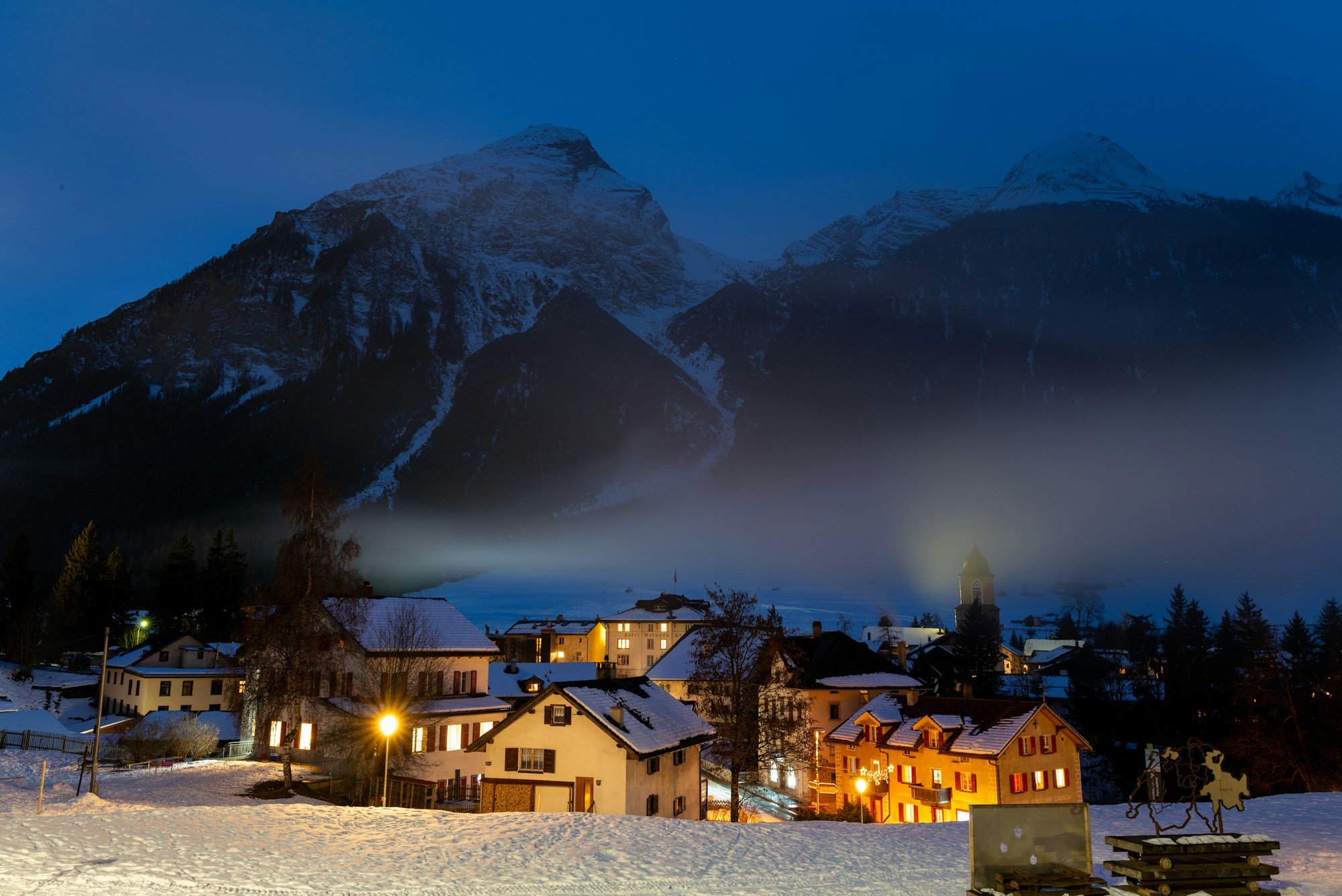
Alpine valley floors are not lowlands
Mid-altitude behaves differently depending on the terrain. Innsbruck, at 574 m, reaches 100% over 35 years, and Garmisch-Partenkirchen 100% at 720 m. By contrast, Clermont-Ferrand (330 m) stalls at 34%, and Gérardmer in the Vosges at 63%. The calculation compares the points with each other without explaining these gaps: it measures outcomes, not causes.
Highlights
- Alpine valley floors can stay snowy at Christmas even around 575 m, as at Innsbruck
- French low mountain ranges are far more hit-and-miss
- Clermont-Ferrand, at 330 m, has snow at Christmas in only 12 of the 35 years
The table below gives the probabilities for the points where comparison is most useful, from the lowlands to high mountain. Each row reads as a frequency over 35 years: 6% means two years out of 35.
| Place | Country | Resort altitude (m) | Probability 1991-2025 | Years in the last 10 | Median depth at noon (cm) |
|---|---|---|---|---|---|
| Paris | FR | 75 | 6% | 0 / 10 | 0 |
| Lyon | FR | 200 | 14% | 1 / 10 (2025) | 0 |
| Strasbourg | FR | 142 | 23% | 1 / 10 (2024) | 0 |
| Berlin | DE | 50 | 37% | 1 / 10 (2021, 4 cm) | 0 |
| Vienna | AT | 180 | 46% | 1 / 10 (2025) | 0 |
| Oslo | NO | 94 (grid at 9 m) | 89% | 8 / 10 | 8 |
| Feldberg | DE | 1,493 | 77% | 6 / 10 | 5 |
| Chamonix | FR | 1,035 | 100% | 10 / 10 | 114 |
Source: Open-Meteo, ERA5 archive (reanalysis), in-house calculation from the snow depth variable, checked on 10 November 2026.
The ERA5 grid has a resolution of roughly 10 to 25 km. When the grid altitude differs from the resort altitude, read the figure as a trend. Oslo shows the limit case: the grid is at 9 m for a resort at 94 m, so the 89% should be read as an order of magnitude.
5. In the lowlands, a white Christmas becomes the exception
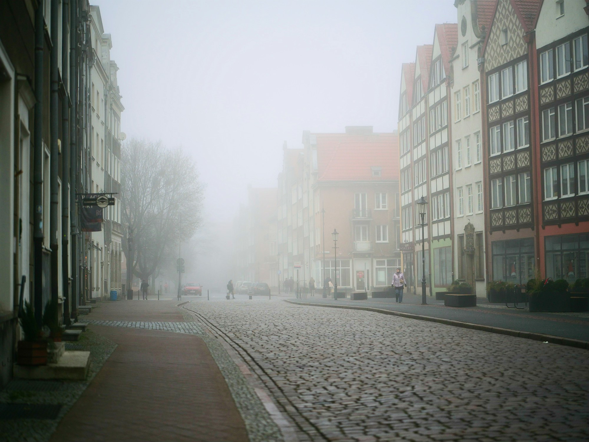
Paris, Lyon, Bordeaux, London: rarely white
In France, the lowlands follow the same pattern. Paris has two years out of 35 with at least 1 cm of snow at noon on 25 December, and none in the last ten. Lille and Bordeaux are at 6%, Lyon at 14%, Strasbourg at 23%. In Brest, no year out of 35. London is at 6%, and Edinburgh at 20%: for Edinburgh, the grid sits at 73 m for a resort at 47 m.
Highlights
- Paris: 2 years out of 35, none in the last 10
- Brest: no year out of 35 with snow at noon on 25 December
- Rome and Madrid at 3%: just one year out of 35 in each city
Météo-France notes that snow on the ground at Christmas has been observed on average only about ten times since 1950, from the North-East to the Massif Central. The ERA5 calculation points the same way for the French lowlands, with Strasbourg, the most exposed city, at 23%.
Further north and east, the figures rise without ever guaranteeing snow. Berlin is at 37%, Hamburg at 31%, Vienna at 46%. Munich reaches 71%, with a resort at 520 m. In Switzerland, the most reliable reference is station data: SRF says it snows on at least one festive day roughly one year in four in Bern, and according to SRF Meteo, which cites MeteoSwiss, Zurich Fluntern and Bern Zollikofen had no snow on Christmas Day in more than 60% of years since 1931. The grid calculation is not used for Swiss lowlands.
For more on Switzerland, our guides to the Zurich Bellevue Christmas market and the Montreux Christmas market are online.
In the Baltic countries and Finland, ERA5 gives high values: Helsinki at 83%, Tallinn and Riga at 80%, Vilnius at 89%. Ground observations quoted in an undated secondary study are much lower: Riga 59%, Tallinn 55%, Vilnius 64%. We therefore retain a range of 55 to 85% for the Baltic region and Helsinki, pending national series. For Helsinki, the figures from the Finnish Meteorological Institute as reported in the press diverge: one white Christmas in two in one article, two in three in another.
Central and northern European lowlands sit in between: Warsaw at 54%, Prague at 43%, Stockholm at 69%, Copenhagen at 29%. These values change from one year to the next, and none should be read as a guarantee.
6. Real snow or decorative snow: what a model measures
The Christmas snow you see in a photo is not always the snow on the ground. Sources distinguish snow present on the ground, deep snow and Christmas decoration, which can be artificial (snow globes, shop windows and markets). These three realities are not measured the same way.
| Question | What ERA5 answers | What to check elsewhere |
|---|---|---|
| Is there snow on the ground at noon? | Yes or no, on the 10 to 25 km grid | The resort’s snow report |
| Is the snow measured? | No: it is a model reconstruction, not a station measurement | The resort’s snow bulletin |
| Is the village snowy? | Only at the scale of the 10 to 25 km grid, whose altitude can differ from the resort’s | The village altitude and the resort’s snow bulletin |
Source: Open-Meteo, historical archive documentation, checked on 10 November 2026. The table is a reading of the method, not a numeric result.
For a ski resort, the practical rule is simple: check the resort’s snow report rather than a promotional photo. Snow reports are the source to consult for Christmas week.
Another point: a median of a few centimetres is not enough to ski on, whereas 1 cm at noon is enough to count a year as « white » in this calculation. The 1 cm threshold therefore says nothing about usable depth.
For lowland snow, the calculation does not distinguish snow that melts during the day from snow that lasts. That is a limit of the indicator, not information about the town.
The probabilities in this article tell you whether snow is likely, not whether the ski area will be open on 25 December.
7. And for Christmas 2026?
As of 10 November 2026, no reliable forecast gives a probability for 25 December 2026. An article from RUS Tourism News published on 3 November 2026 gives no percentage for this year. The useful moment to check a forecast is the week before 25 December, when models reach 7 to 10 days ahead. In the mountains, snow is easier to predict: check the resort snow reports.
Météo-France says, as reported in the press, that it cannot announce the date of a specific snowfall several months ahead. No serious source can therefore guarantee a white Christmas before Christmas week.
25 December 2026 falls on a Friday, with Christmas Eve on Thursday 24 December. In England, Wales, Scotland and Northern Ireland, the Boxing Day bank holiday (Saturday 26 December) moves to Monday 28 December, so the UK holiday runs from Friday 25 to Monday 28 December. If you’re planning a longer break around these dates, our guide to Christmas and New Year 2026-2027: 10 days off lists the days to take. The probabilities above remain climatologies: they show what is likely, not what will happen this year.
What other guides don’t tell you
Lists of snowy destinations often name the same towns without ever giving a numeric probability. Here are four points checked on 10 November 2026.
- One probability per place, not a list. Over 1991-2025, ERA5 gives 6% for Paris and 100% for Chamonix on 25 December. In-house calculation from Open-Meteo data, consulted on 10 November 2026 (Open-Meteo).
- « White Christmas » has no common definition. One snowflake in the UK, 1 cm in Sweden or Germany, 0.5 cm over at least 90% of the territory in Denmark. The definitions come from national services, consulted on 10 November 2026 (Met Office, SMHI).
- In Vienna, the Hohe Warte station had snow on 24 December twice a decade from the 1980s to the 2010s. None in the 2020s up to the GeoSphere Austria analysis, which predates 2025 (consulted on 10 November 2026, GeoSphere Austria).
- Helsinki: two figures for one city. Data from the Finnish Meteorological Institute, as reported by the press, diverge. A white Christmas in Helsinki should therefore be read with its source, not with a single figure (Verkkouutiset, citing the Finnish institute, consulted on 10 November 2026).
Frequently asked questions
Where is snow most likely on 25 December?
Above 1,000 to 1,500 m in the Alps, and in the Far North. Between 1991 and 2025, the ERA5 grid gives at least 1 cm of snow on the ground at noon on 25 December in 100% of years at Chamonix, Val-d’Isère, Zermatt, Davos, Sölden, Rovaniemi and Kiruna. This in-house calculation is not an official statistic: it is used to compare places on the same basis.
Is there snow at Christmas in Paris?
Rarely. ERA5 gives 6% of 25 Decembers over 1991-2025, that is 2 years out of 35, and none in the last 10. Lyon reaches 14%, Lille and Bordeaux 6%. These figures are an in-house calculation, not an official record. Météo-France, for its part, says snow on the ground at Christmas has been observed on average only about ten times since 1950.
What is the official definition of a white Christmas?
There is no common one. In the UK, the Met Office requires at least one snowflake during the 24 hours of 25 December. In Sweden, SMHI requires at least 1 cm of snow on the ground at 7 a.m. on Christmas morning. In Denmark, DMI requires 0.5 cm over at least 90% of the territory, in the afternoon of 24 December. France publishes no numeric threshold (Météo-France, consulted on 10 November 2026).
Is Christmas snow guaranteed in the mountains?
Almost, above 1,000 to 1,500 m. Between 1,000 and 2,000 m, eight of the nine points calculated are at 89% or more. The Feldberg is the exception, at 77%. Above 2,000 m, the Sierra Nevada falls to 23%, because the ERA5 grid there sits lower than the resort. So look at the village altitude, not just the summit, before you book.
Were there more white Christmases in the past?
Yes, for some towns. Météo-France says snow on the ground at Christmas has been observed on average only about ten times since 1950, and attributes this decline to climate change. The DWD, as reported in the press, estimates that the probability of snow over the three festive days has more than halved between 1961-1990 and 1991-2020. In Vienna, the Hohe Warte station had snow on 24 December twice a decade from the 1980s to the 2010s, and none in the 2020s up to the GeoSphere analysis, which predates 2025. Over the last ten years, ERA5 counts zero or one Christmas with snow in these five lowland cities: Paris zero, Lyon, Strasbourg, Berlin and Vienna one each. One year does not make a trend: 2025 is low at Chamonix (7 cm), but the ERA5 calculation shows no clear break over 35 years for the Alps.
Can we know yet if Christmas 2026 will be white?
Not yet. At the date of this research, 10 November 2026, no reliable forecast gives a probability for 25 December 2026. An article of 3 November 2026 from RUS Tourism News gives no percentage. These probabilities are climatologies: they show what is likely, not what will happen.
How do you tell real snow from decorative snow?
Real snow is measured on the ground. The ERA5 data gives modelled snow depth on a 10 to 25 km grid: it is a model reconstruction, not a station measurement. For a resort, check its snow report.
Can you get snow at Christmas in Brittany?
Almost never on the coast. In Brest, the ERA5 grid records no year out of 35 with at least 1 cm of snow on the ground at noon on 25 December (in-house calculation, Open-Meteo). For inland Brittany, no point was calculated in this article, so the probabilities cannot be extrapolated from Brest.
How many white Christmases are there in Belgium?
This article gives no figure for Belgium. No Belgian point was calculated, and no Belgian weather service was consulted. The French figures for Lille (6%) do not replace a Belgian measurement: a national series would be needed to answer.
Sources
- Open-Meteo, Historical Weather API: ERA5 reanalysis archive and snow depth variable, the basis of the calculations in this article.
- Met Office, Will it be a white Christmas?: the UK definition of a white Christmas.
- SMHI, Julväder: the Swedish definition, at least 1 cm at 7 a.m. on Christmas morning.
- Vejr & Radar, Hvad er en hvid jul i Danmark?: the Danish definition (DMI) and national history.
- Deutscher Wetterdienst, Weisse Weihnachten: the German definition (DWD).
- SRF Meteo, Weihnachts-Orakel 2025: the Swiss definition and the frequency in Bern.
- Météo-France, De la neige à Noël ?: the French framework, with no numeric threshold published.
- Verkkouutiset, reporting data from the Finnish Meteorological Institute: white Christmas in northern Finland, figures for Helsinki.
- GeoSphere Austria, White or green Christmas 2025: the Vienna series, Hohe Warte station.
- RUS Tourism News, White Christmas 2026 in Europe: article of 3 November 2026, with no percentage for Christmas 2026.
Sources checked on 10 November 2026. The ERA5 probabilities are an in-house calculation from Open-Meteo data, not an official figure.

Plan your trip with Pixidia
Pixidia learns how you travel and helps you build a trip that truly fits you and everyone coming along.
Open the planner